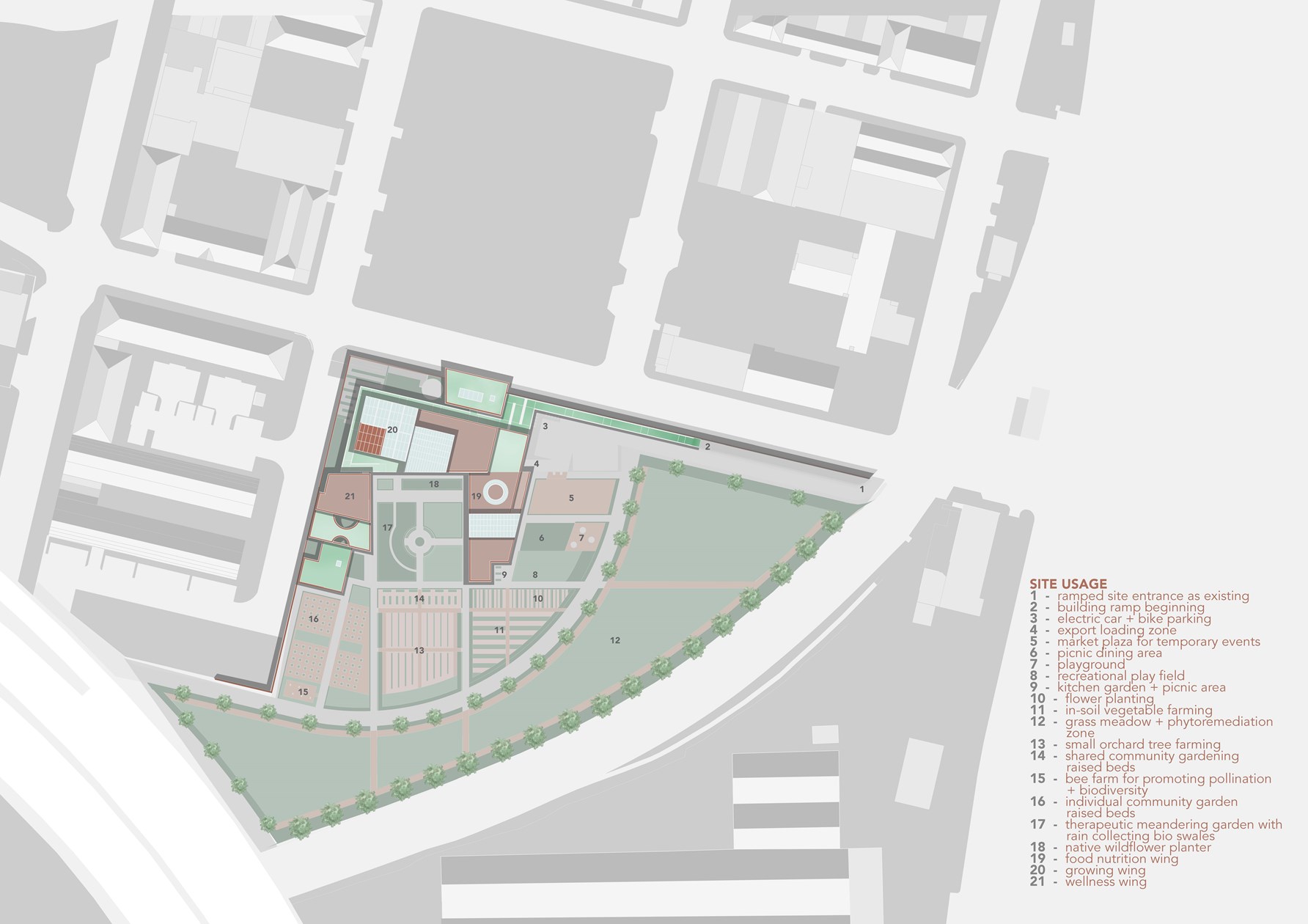
Site Usage Plan
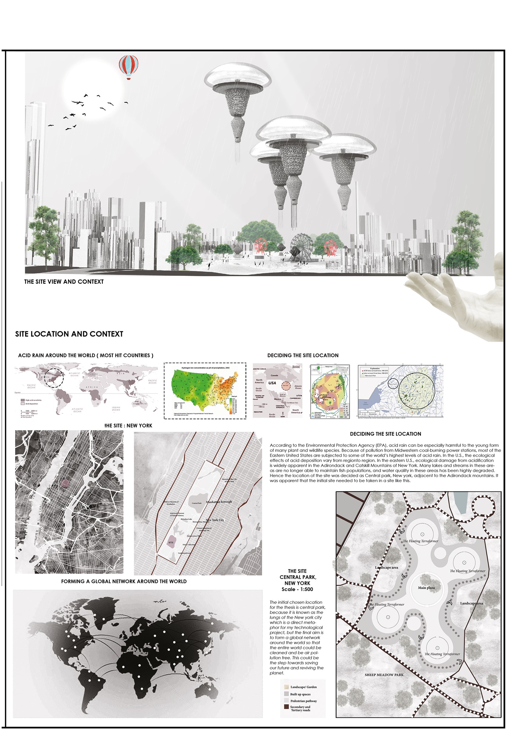
Welcome to the Grand opening of The Floating Terraformer, World Fair, Central Park, NY ( The Manifesto )
Site Plan
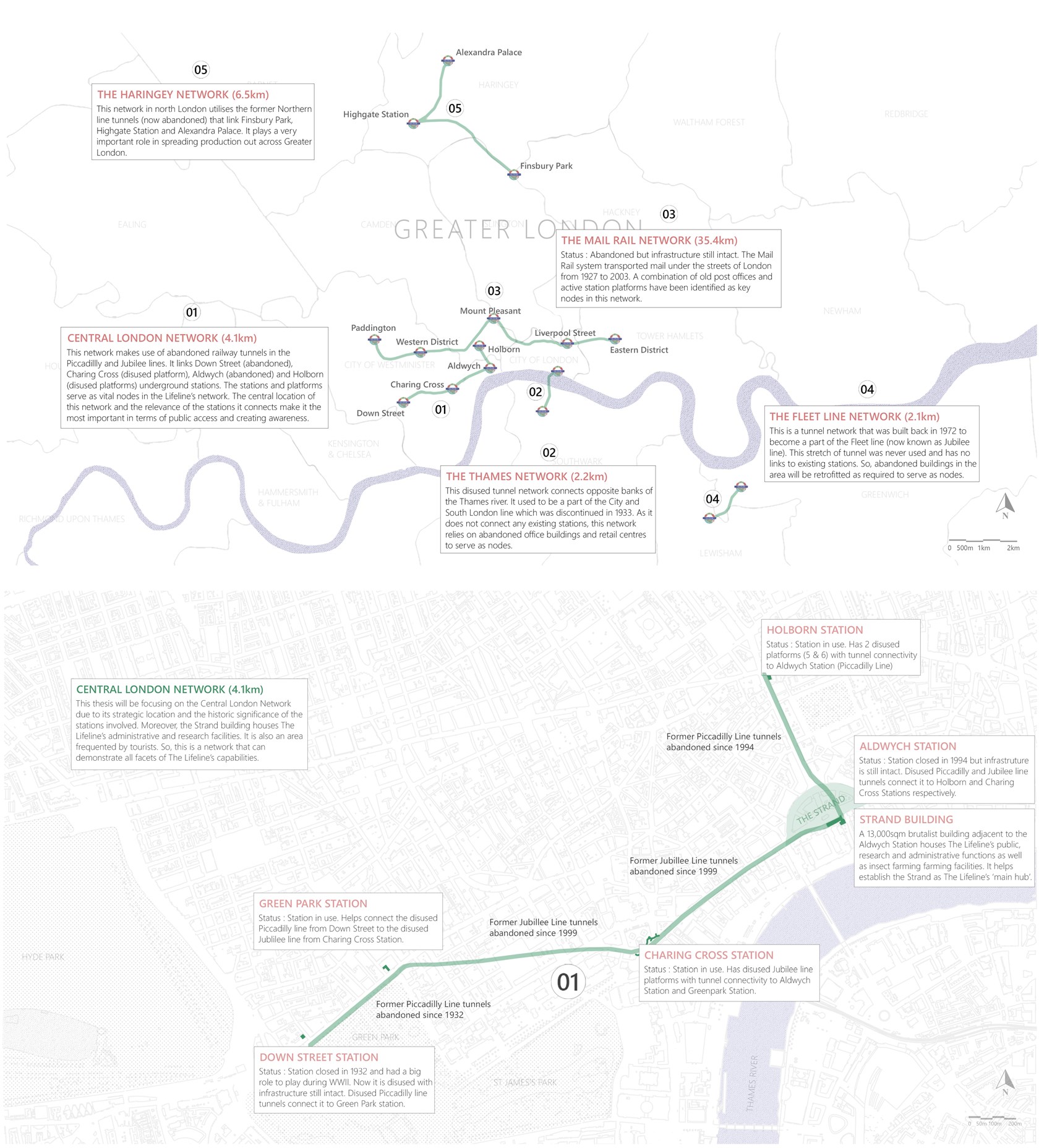
The Lifeline Network
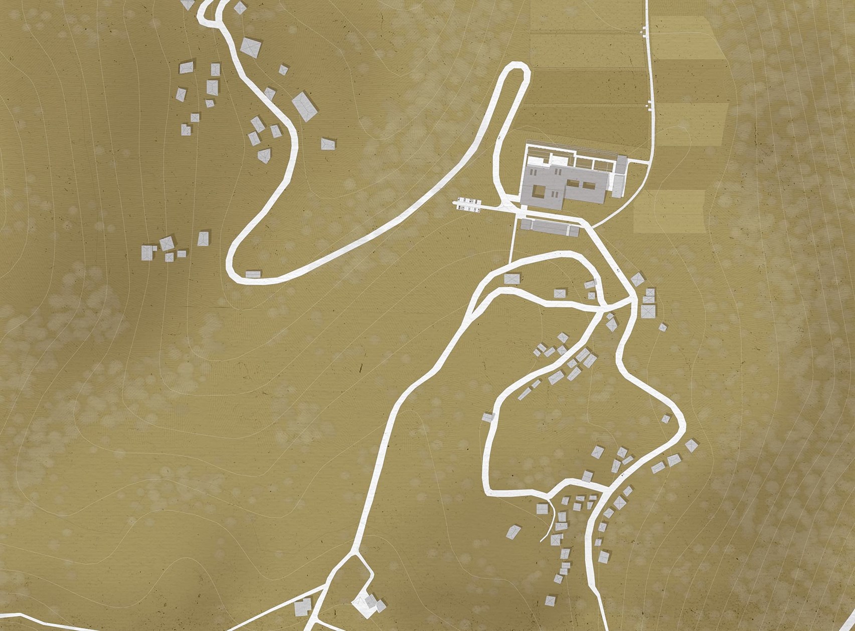
The Site
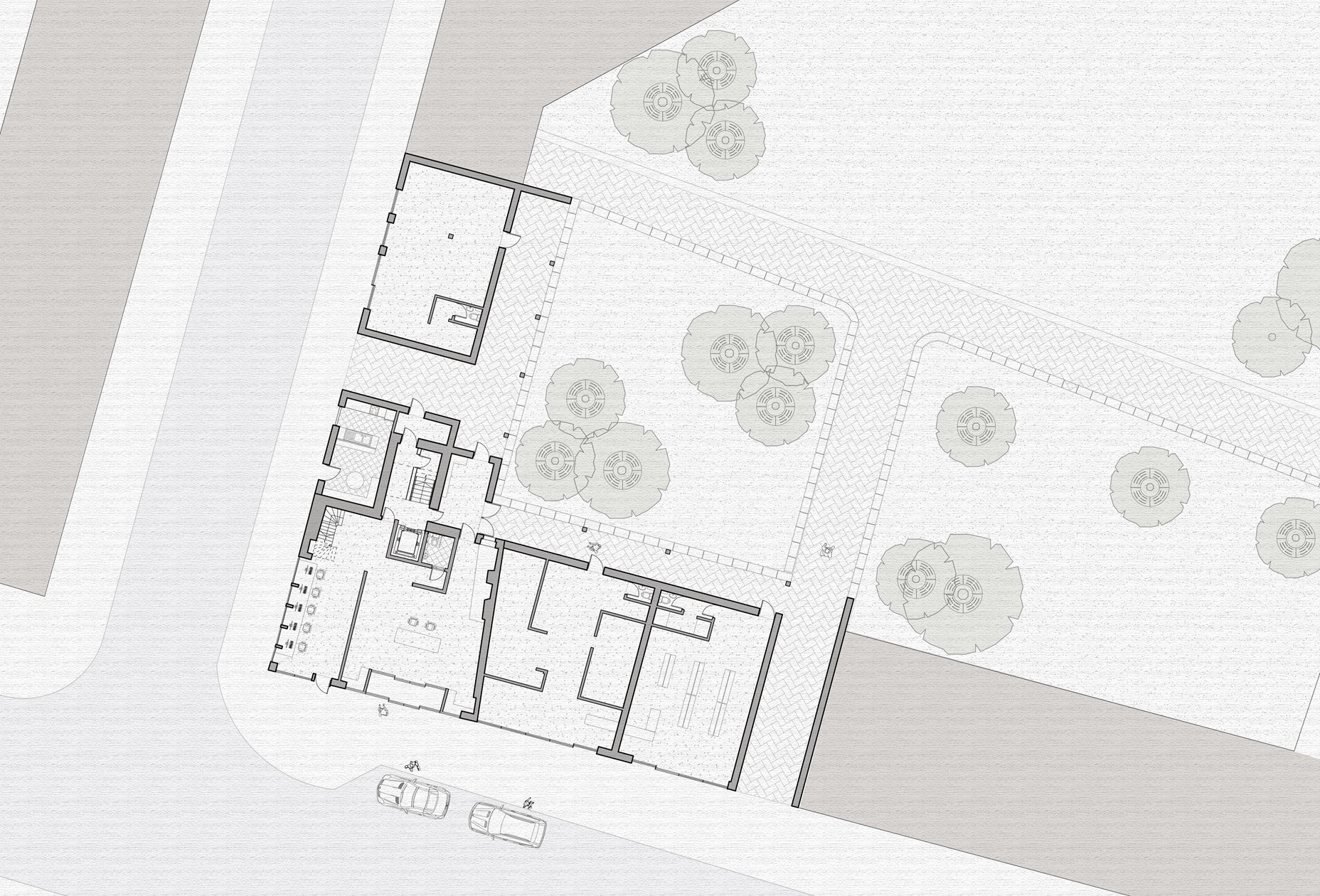
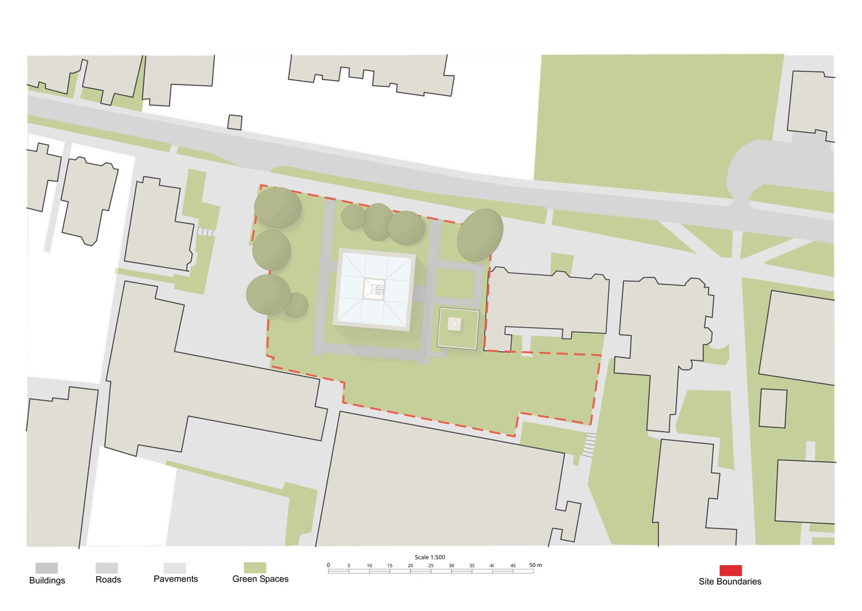
Centre for Sisterhood Site Plan
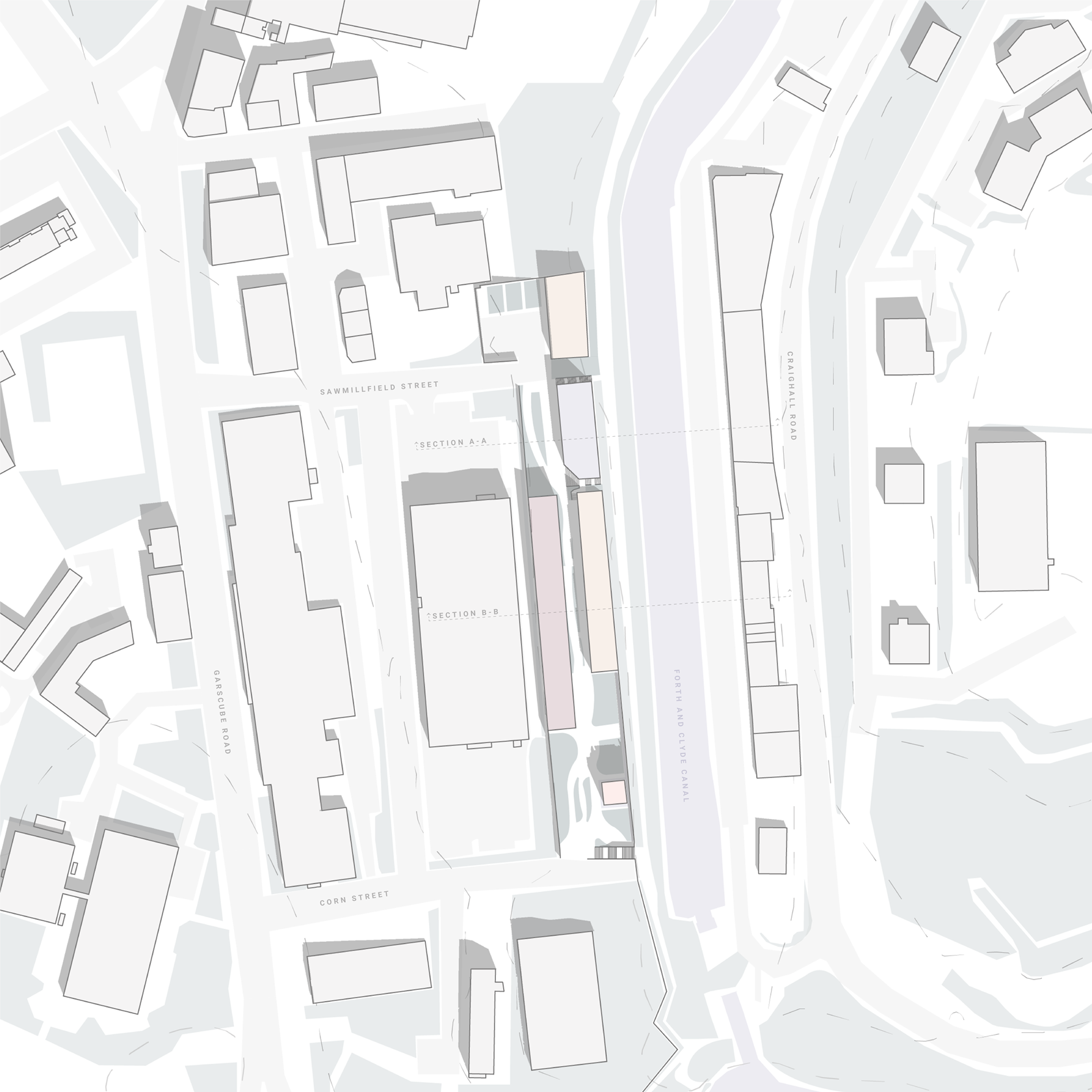
Site Plan of Part E of the Masterplan
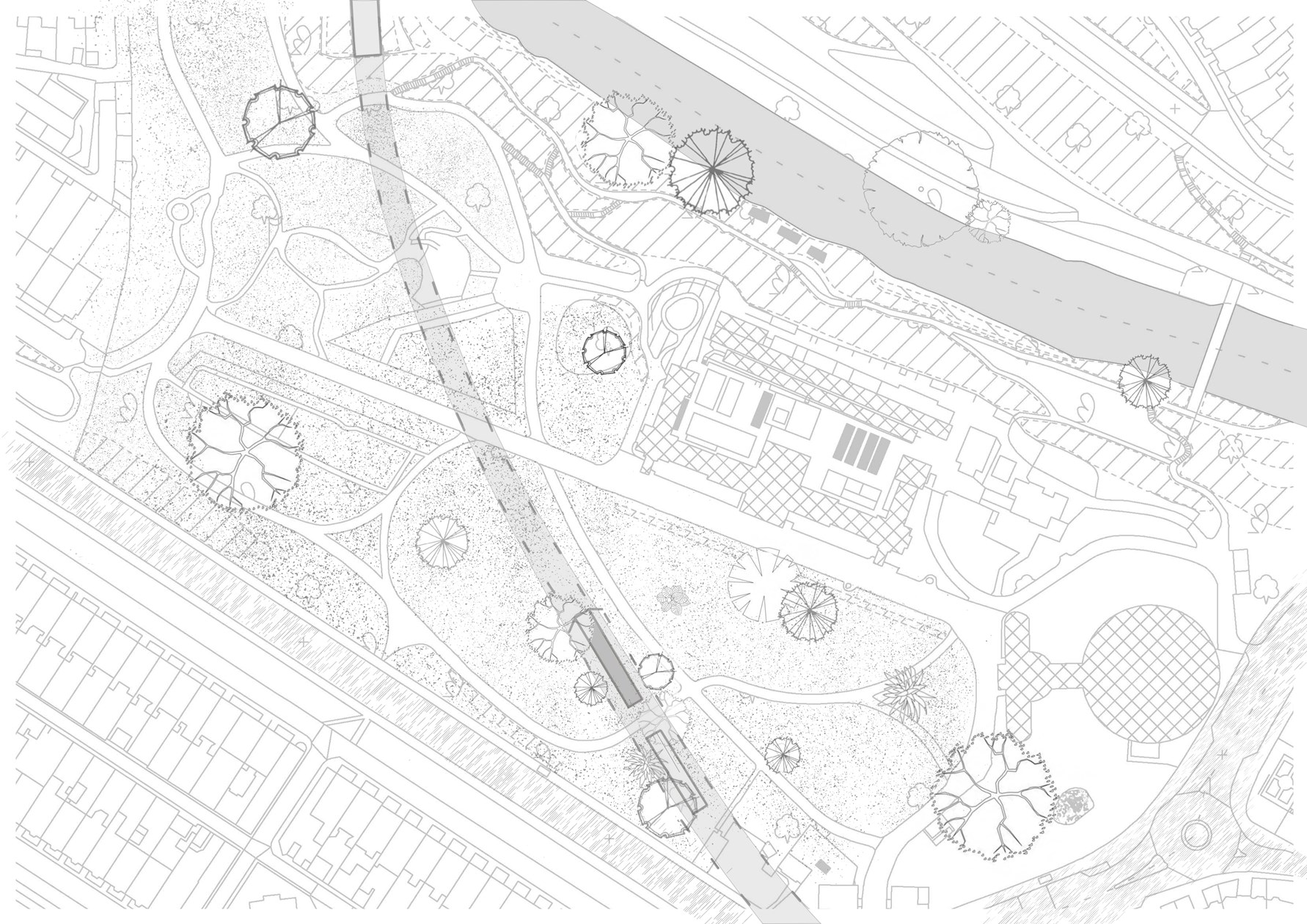
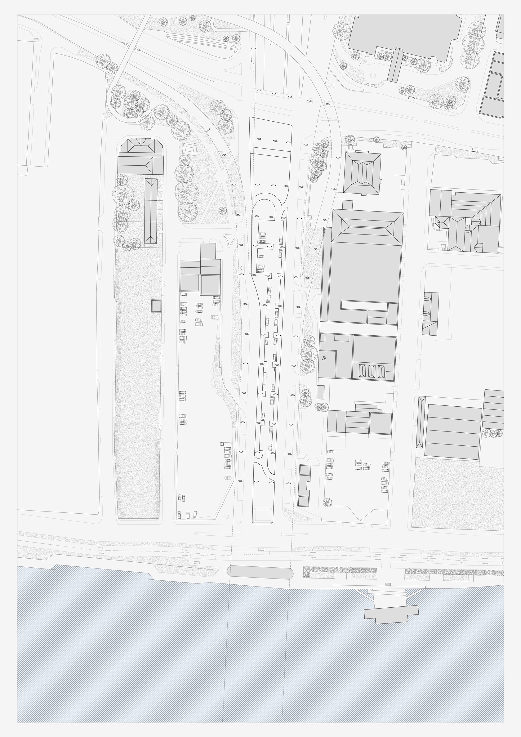
Glasgow Botanic Garden Railway Station Site Plan
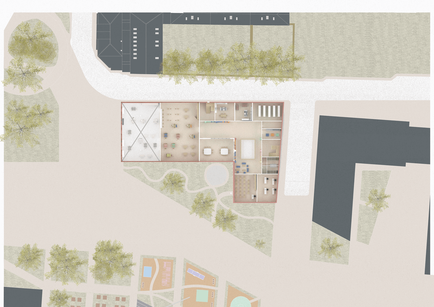
1.200 Illustrated First Floor Plan

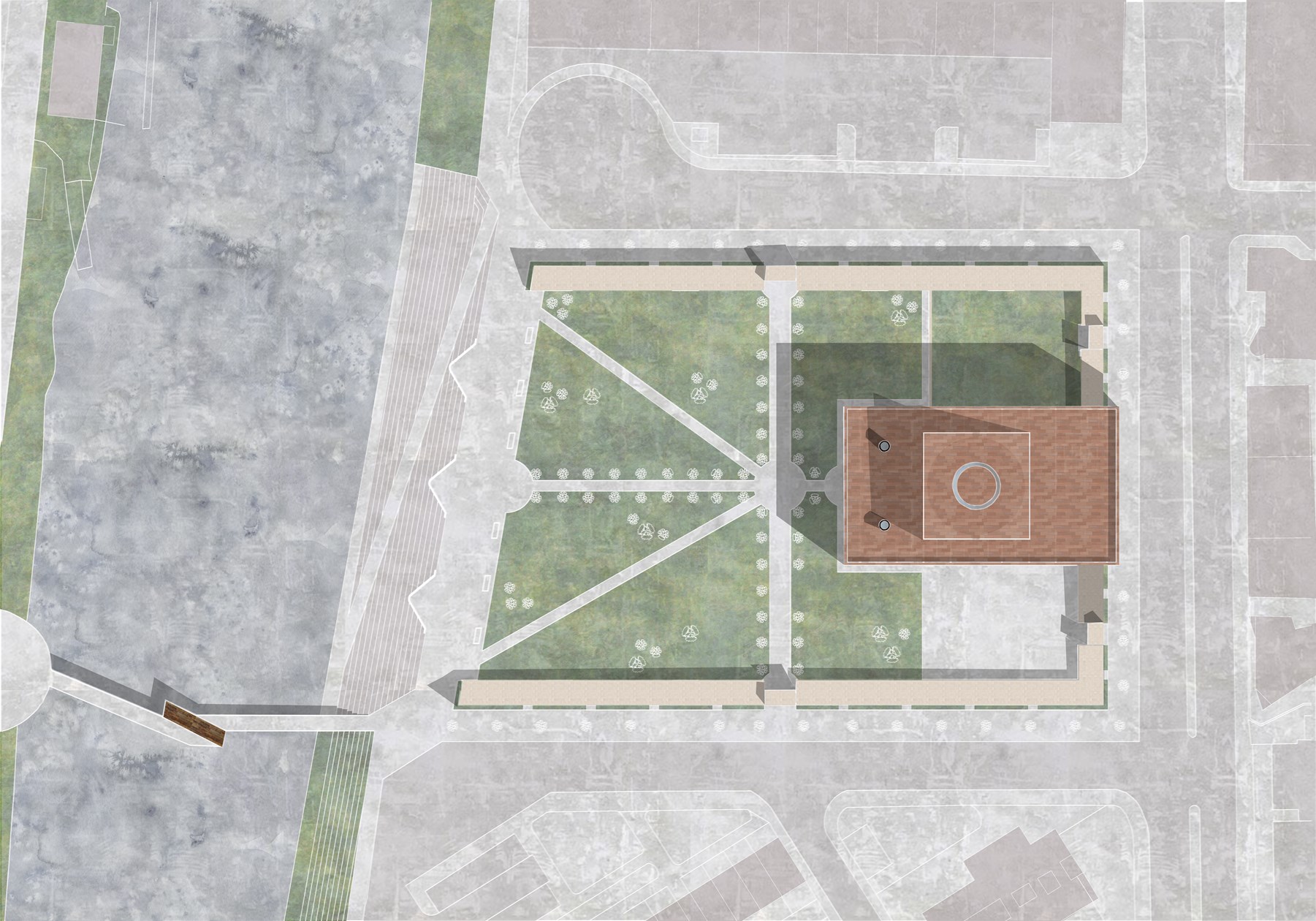
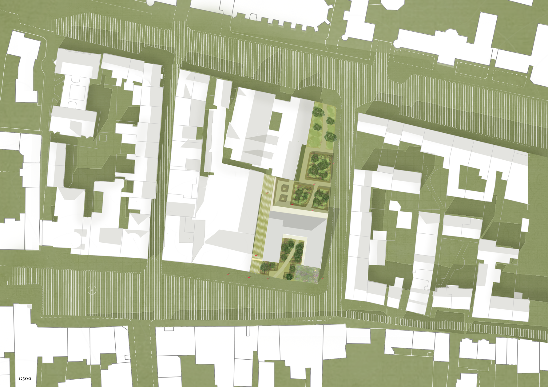
Proposed Site Plan
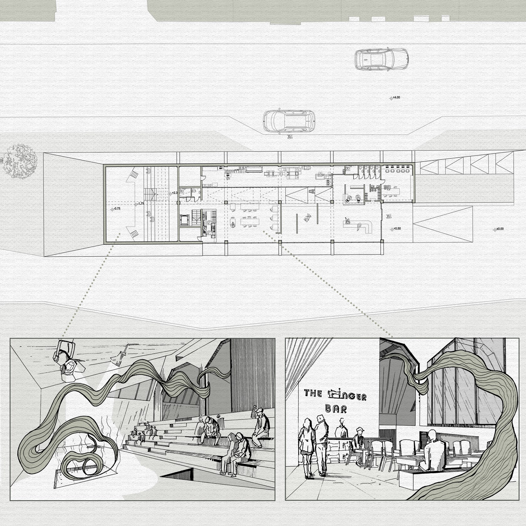
Fabric as a Performance
Exposed Floorplan of the Station
Site map of the village of Gela
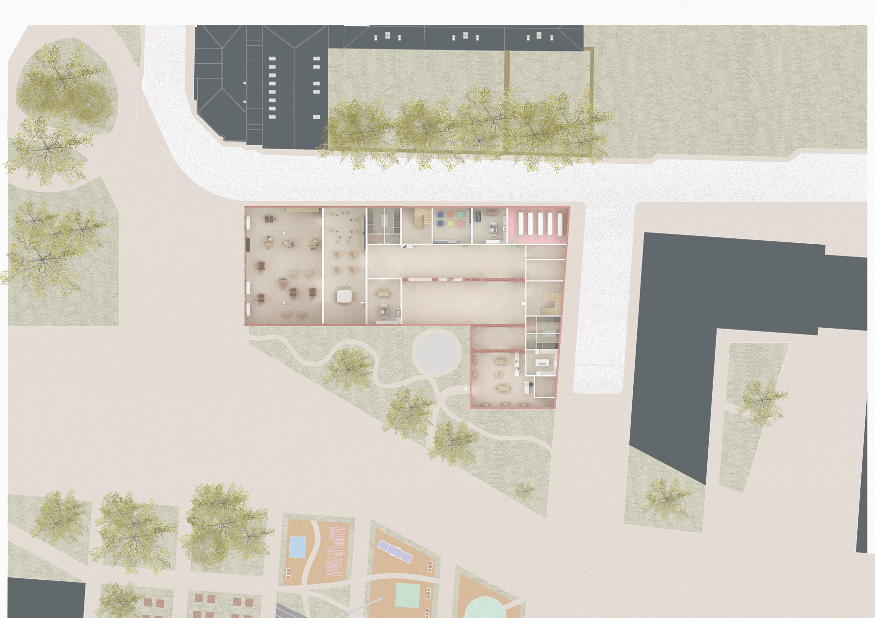
1.200 Illustrated Ground Floor Plan

DFN Proposed Buildings
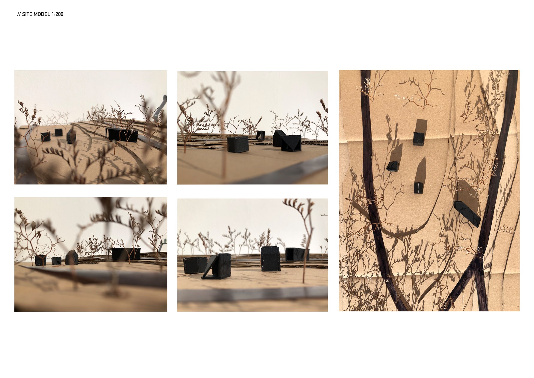
Site model 1:200

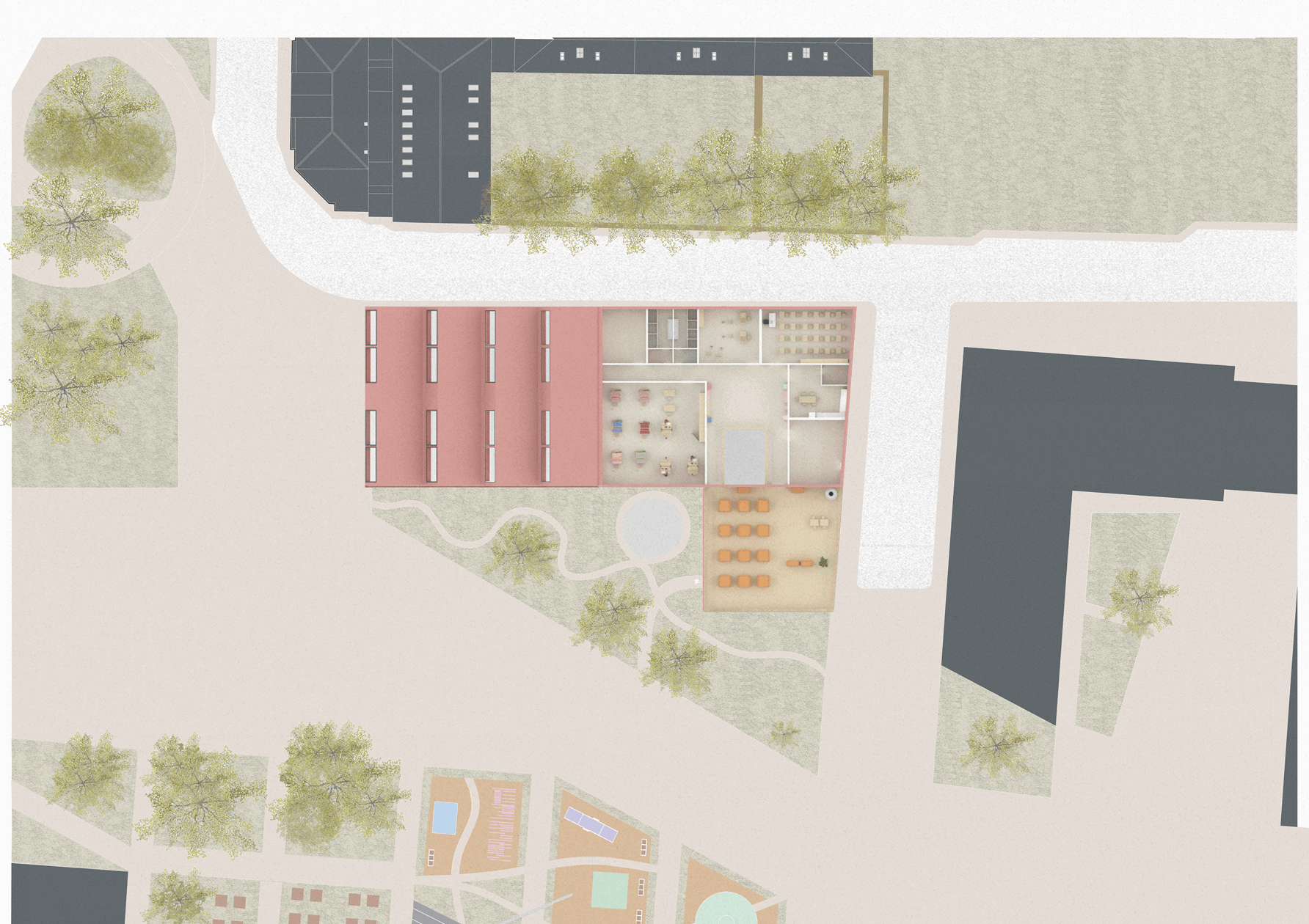
1.200 Illustrated Roof Plan

Labelled Site Plan of the Shipyard
1.200 Illustrated Second Floor Plan

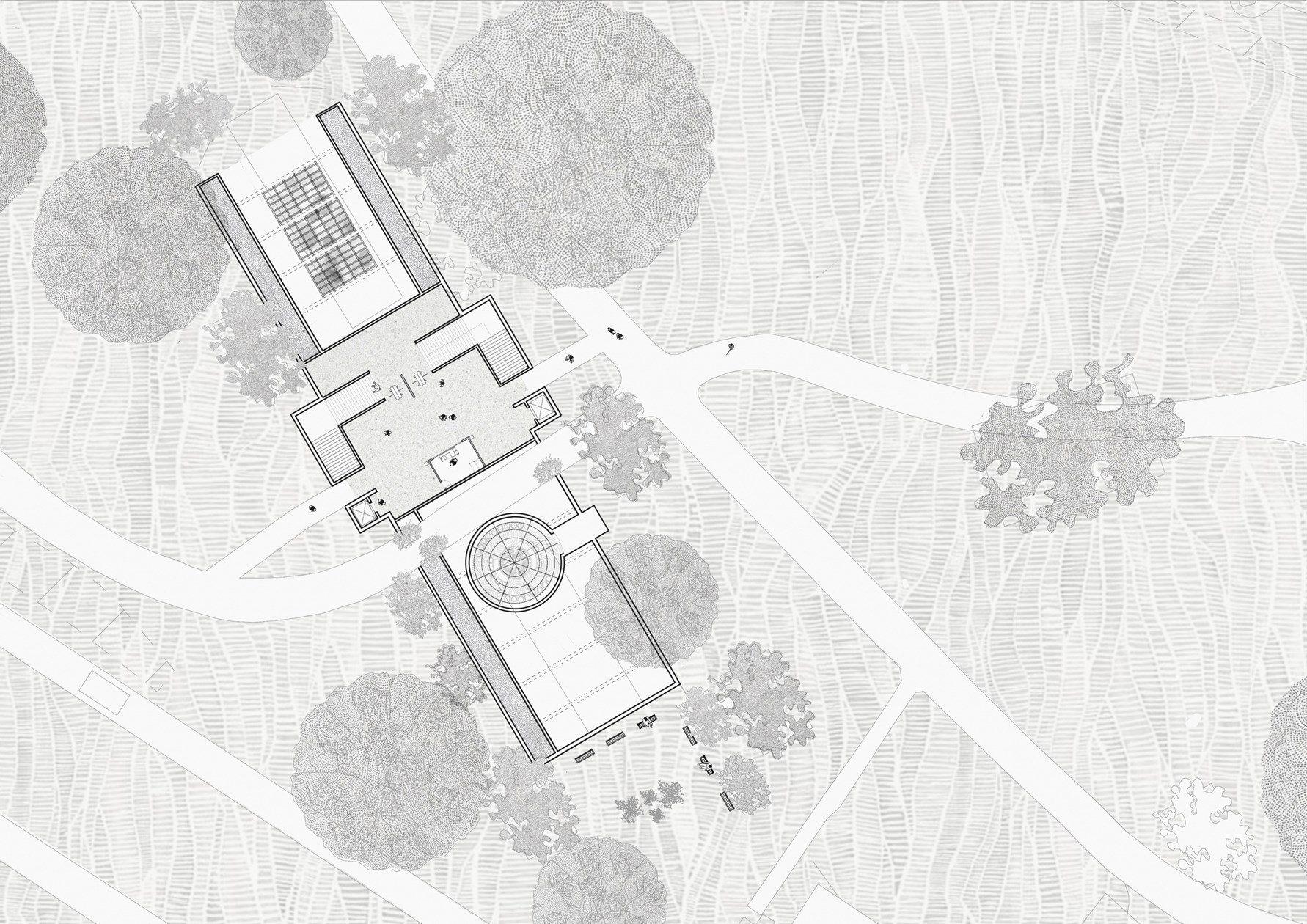
Site Plan
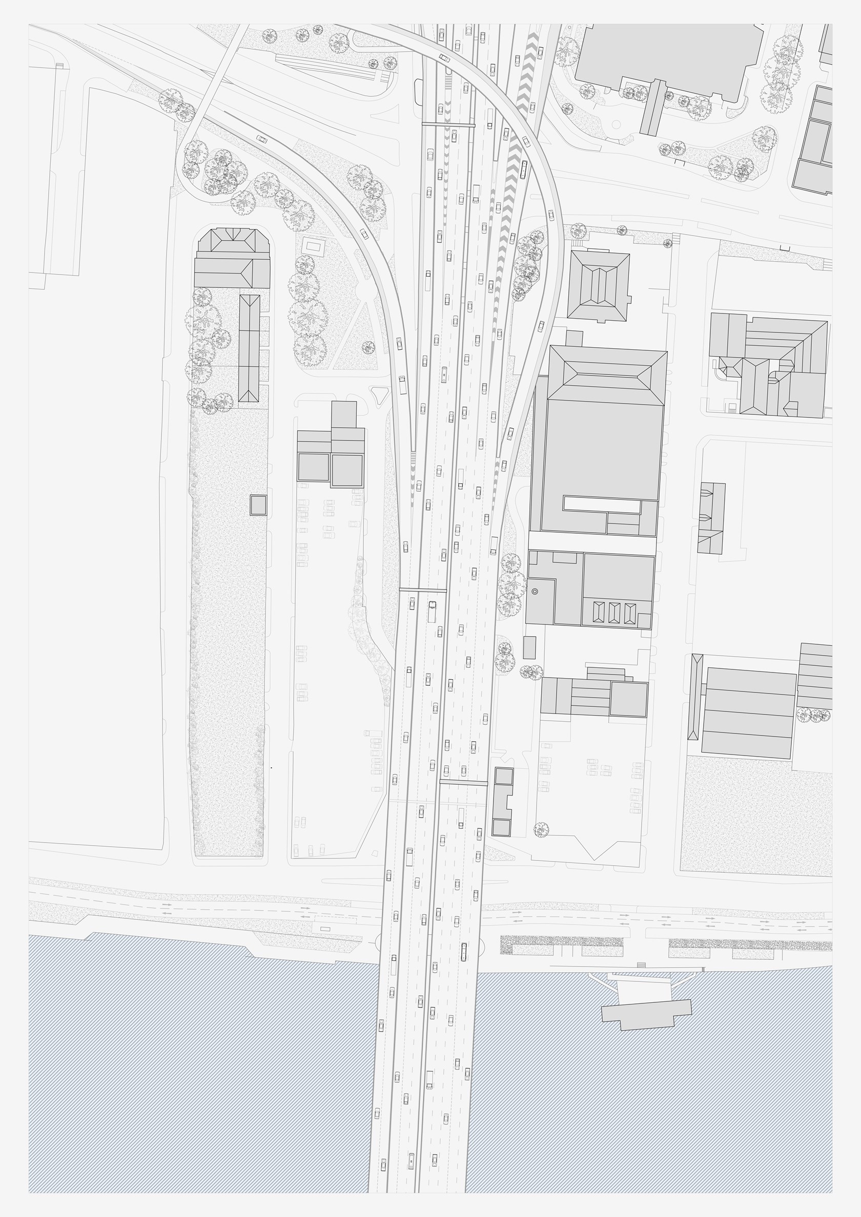
Plan of M8, as seen from above
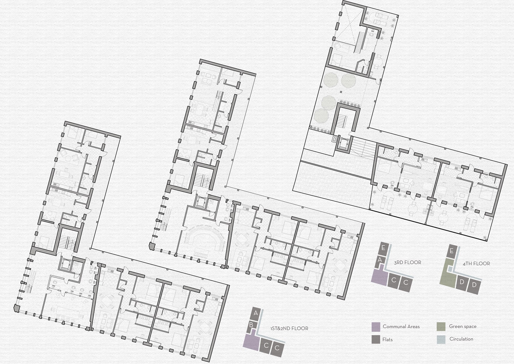
Floor Plans
Plan of M8, ground floor level (currently)
Site Plan
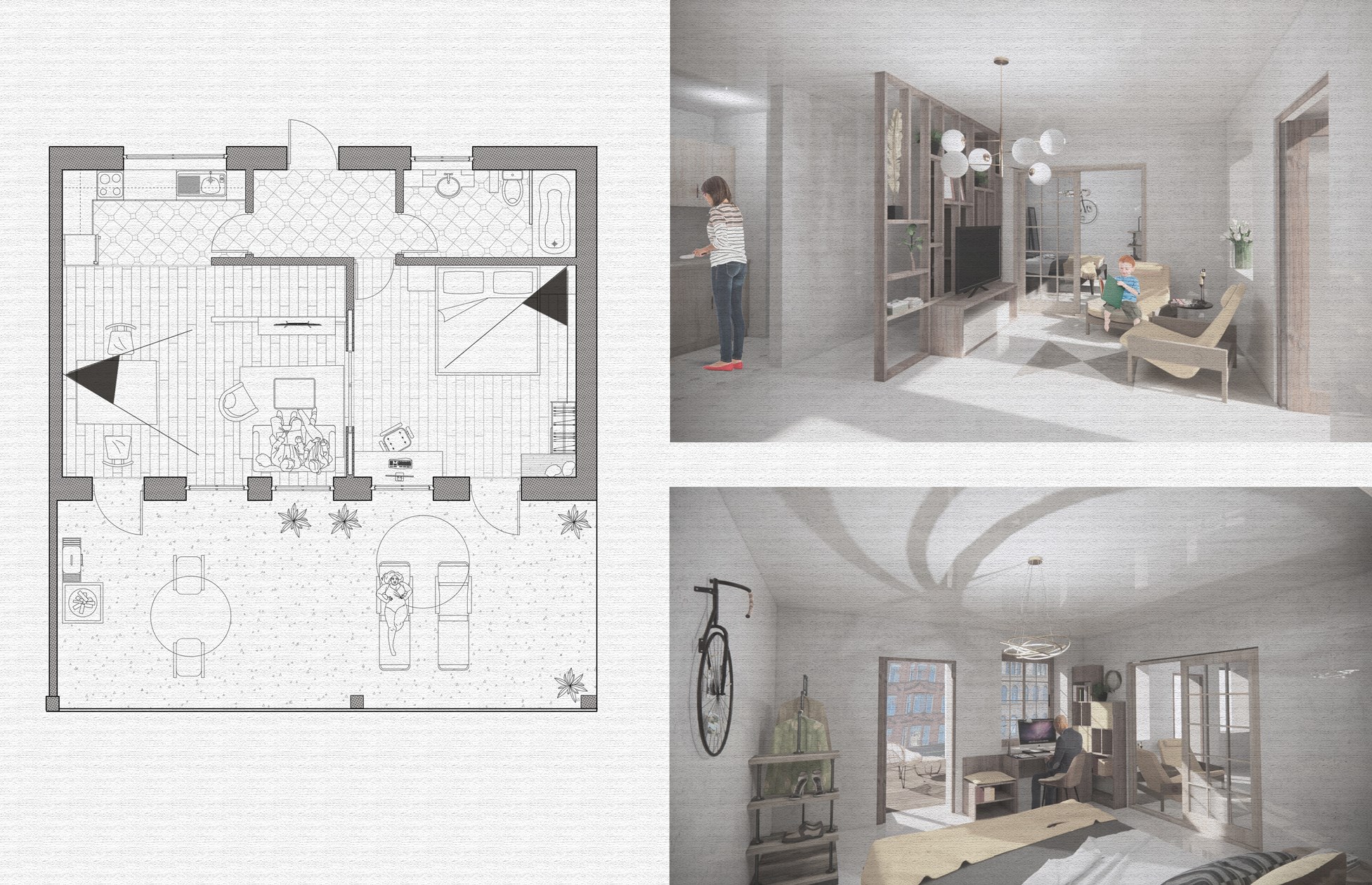
Typical Flat